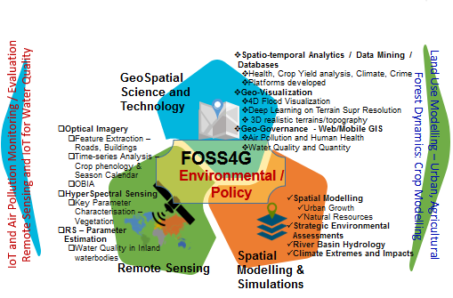
LAB FOR SPATIAL INFORMATICS (LSI) @IIIT Hyderabad has been at the forefront of Geospatial Science, Research & Applications with a multi-disciplinary approach. All facets of Geospatial Sciences - Study, analysis and modelling of space-time characteristics of an object, event or phenomena); combined with the evolving technological landscape - Sensor tech like satellite, drone, LiDAR, IoT for data acquisition; Geodata storage & handling; Online Map Production/Dissemination, Visualization in 2D, 3D & 4D); and Application specific Solution & Services; are posing a range of research challenges. LSI has been addressing these in Remote Sensing, Geospatial Data Sciences, and Modelling & Simulation of Land, Water and Environmental changes. This research Lab @IIIT Hyderabad provides a unique platform for fellow researchers to collaborate and also to Post-Doc/PhD/MS level to work across core and applied research problems with a multi-disciplinary approach.
Updates
- 16 March, 2024
Research at LSI can be viewed at RnD Showcase 2024
- 15 February, 2024
One day Workshop
PhDs Awarded
DD/MS Graduates
Research Students (PhD, DD, MS)
Publications from our Team
TALKS
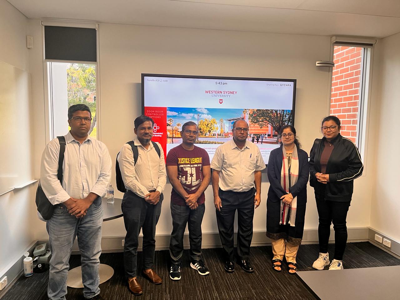
Dr. Rehana Shaik
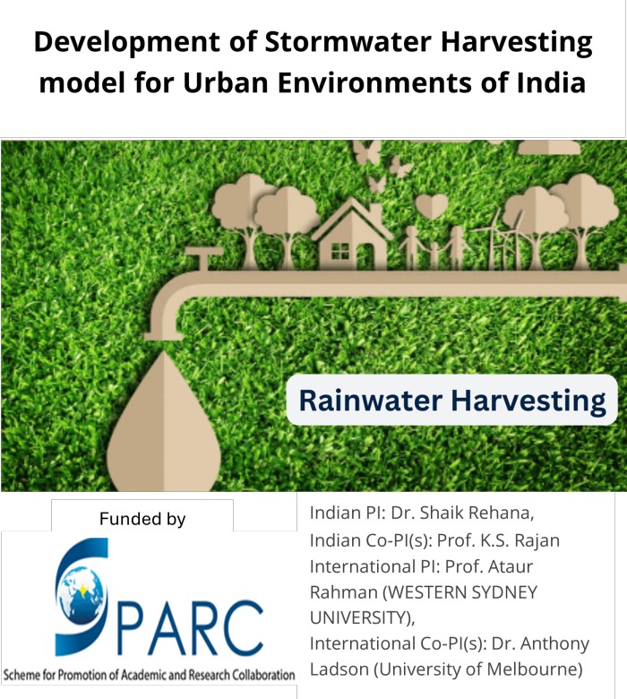
Invited talk at Western Sydney University, Australia on 6th March 2024 (As a part of SPARC Project)
 Machine Learning Models in Hydroclimatological Predictions

Prof. K.S. Rajan
Workshop on GIS for Farmers, in Telugu, 16th Dec 2023
 Geospatial Science and Technology can be termed as
భూసంపర్క వైజ్ఞానికం [Bhoosamparka Vaijyannikam] in Telugu, as it covers Geolocation, spatial relationships, and spatial processes.
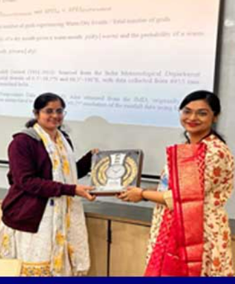
Dr. Rehana Shaik
keynote lecture at the 28th International Conference on Hydraulics, Water Resources, and River Engineering (HYDRO-2023) held at the National Institute of Technology Warangal (NIT Warangal) from 20 to 22 December 2023.
 Impact of Climate Change on River Water Temperature and Dissolved Oxygen: Indian Riverine Thermal Regimes
Dr. Rama Chandra Pillutla
3-days summer school workshop on “Digital Agricultural Technologies (DATs)” organized by IEEE-GRSS Hyderabad Chapter, Hyderabad, 29th March 2023.
 Understanding the nexus between Blue-Green infrastructure and Anthropogenic activities -Role of Geospatial Technology

Prof. K.S. Rajan
ISRS-ISG 2022 National Symposium: Plenary Session, 16th Nov 2022
 We are at very early stages of GeoAI. Its many flavours will flourish when various related Domains infuse and adapt these Algorithms with Spatio-temporal Processes, that are rather implicit now.

Dr. Rehana Shaik
As a part of Birth Centenary Celebrations of Prof. G RamaKrishnan, by Civil Engineering Association and SVUCE Alumni Association at the Department of Civil Engineering, Sri Venkateswara University College of Engineering, Tirupathi, 16th August 2022.
 Climate change impacts on water quantity and quality management

Dr. Rehana Shaik
Discussion Meeting on “Hydrology in the Anthropocene”Interdisciplinary Centre for Water Research, Indian Institute of Science, Bangalore, India, 6-9 December 2022
 Hydrology under Climate Signals at Various Spatial and Temporal Scales: Challenges

Dr. Rama Chandra Pillutla
ATAL FDP on “Recent Trends and Applications of GIS & Remote Sensing using AI “by Department of Electronics & Communication Engineering, Potti Sriramulu Chalavadi Mallikharjuna Rao College of Engineering & Technology, Krishna Dt., Andhra Pradesh, 17th September 2021
 Deep learning approaches in understanding forest dynamics

Dr. Rehana Shaik
One-day Brainstorming Workshop on “Climate Change Impacts on Hydro-meteorological Extremes: Research Gaps and Challenges”, December 13, 2019, School of Infrastructure, IIT Bhubaneswar, India.
 Regional Hydrologic Impact Assessment using Global Circulation and Regional Climate Model Outputs

Dr. Rehana Shaik
IUKWC Workshop: Science and Innovation for Catchment Management, University of Warwick, UK, from 8th – 10th May, 2019
 Assessment of Regional Evapotranspiration over a Large River Basin of India

Dr. Rama Chandra Pillutla
5-days Master Training Program (MTP) for the Technology Specific Work Theme "Allied UAS Technologies” Organized by Robotics Research Centre, IIIT-Hyderabad 30th January and 1st February 2023
 Earth Observation Platforms” and “Earth Observation Sensor-Data Acquisition and Processing

Dr. Rehana Shaik
Invited talk at Nebraska Innovation Campus, University of Nebraska, Lincoln, USA. August, 23rd, 2017.
 River Water Quality Model Sensitivity under Climate Change


